Strong winds and large waves expected as flood warnings remain for Thursday


Strong winds and large waves are expected to return at high tide at 12.45pm today, but are expected to be less stormy than yesterday.
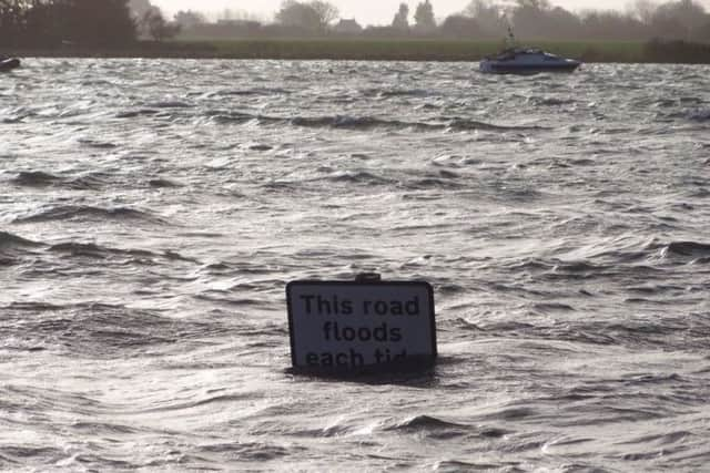
Tide levels are expected to be only 10cm higher than yesterday, so similar impacts are expected.
Advertisement
Hide AdAdvertisement
Hide AdA red flood warning means flooding is expected and immediate action is needed.
Which areas are at risk of flooding?
The warning is in force for Bosham and West Itchenor, including Chidham, Broadbridge, and Bosham Hoe.
A statement on the Environment Agency website said: “Flooding will affect Shore Road as well as a small number of properties on Bosham High Street and along Gloucester Terrace.
“All flood boards should be installed. Water will also be high up slipways in West Itchenor.
Advertisement
Hide AdAdvertisement
Hide Ad“Take care if visiting the coast. Install flood protection products if available.
“Tides will likely decrease over the coming days.”
Flooding is possible for coastal areas between Selsey Bill and Elmer, including Pagham, Sidlesham and Bognor. Localised disruption along Mill Lane, Sidlesham should be expected.
Shoreside properties around Chichester Harbour may also be affected.
What should you do if you see flooding?
To report flooding in your area, or to contact your local Environment Agency Duty Officer, call the Incident Communication Service on 0845 850 3518.
Do not put yourself at risk. In an emergency dial 999.